
Revolutionizing Geospatial Analysis with AI: Transforming Data into Insights
- Nicholas Mellor
- Mar 17, 2023
- 2 min read
Updated: Dec 4, 2024
Geospatial analysis has always been a critical tool for understanding our environment and making informed decisions. However, the sheer volume and complexity of data from various sources like satellite imagery, drones, and ground-based sensors have made the analysis process more challenging.
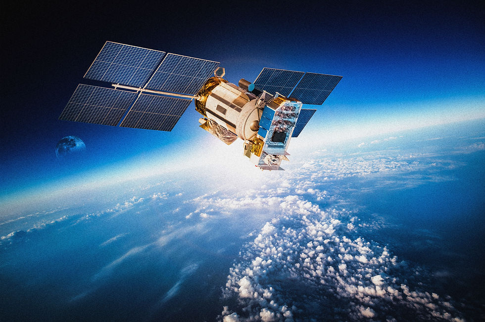
With AI and machine learning, geospatial analysts can now process this vast a
mount of data more quickly and accurately, providing valuable insights that were previously difficult to obtain.

Here are some examples of how AI is changing geospatial analysis:
1. Automation: AI algorithms can automate several tasks in geospatial analysis, such as image classification, feature extraction, and data processing. For example, instead of manually identifying and classifying objects in satellite images, AI algorithms can do this automatically, significantly reducing the time and effort required for analysis.
2. Object Detection and Recognition: AI algorithms can accurately detect and recognize objects in geospatial data, such as buildings, roads, and vegetation. This capability is crucial for various applications, such as urban planning, disaster response, and environmental monitoring. For example, AI algorithms can identify the exact location and size of buildings in satellite imagery, helping urban planners to design more efficient and sustainable cities.
3. Predictive Analytics: AI models can analyze historical geospatial data to predict future events or trends. For example, machine learning models can predict the spread of diseases, track the movement of storms, and forecast land use changes. This capability can help decision-makers to plan for future events and make informed decisions.

4. Spatial Analysis: AI algorithms can perform spatial analysis to identify spatial patterns and relationships between geospatial features. This capability is essential for various applications, such as transportation planning, urban development, and natural resource management. For example, AI algorithms can analyze traffic patterns to identify the most efficient routes for transportation.
AI is revolutionizing geospatial analysis by enabling geospatial analysts to process vast amounts of data more quickly and accurately.
With automation, object detection and recognition, predictive analytics, and spatial analysis, AI is providing geospatial analysts with valuable insights that can help them make more informed decisions.
As AI continues to evolve, we can expect geospatial analysis to become even more advanced, enabling us to better understand and protect our environment more effectively.


Comments